
City Edit: First Edition
What happens when you tape a QR code to a lamppost?


Hello from a lamppost on Amsterdam Avenue!
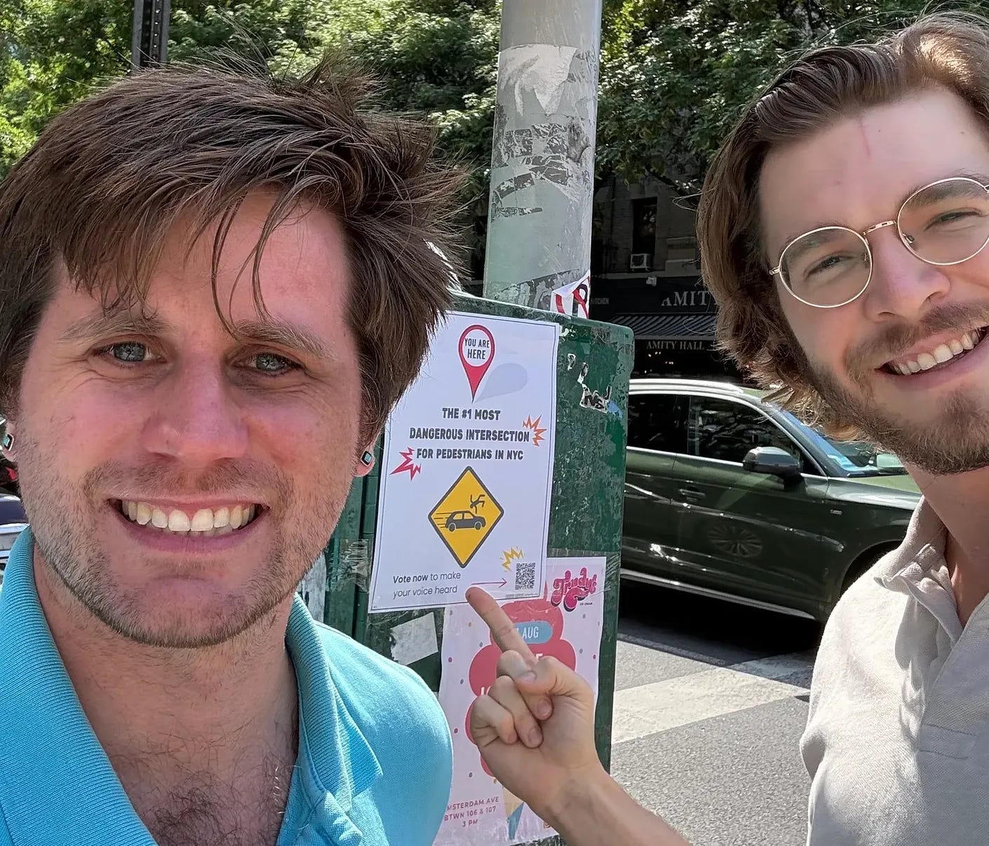
For the past week, we’ve been doing the least technological thing a civic technology project can do: walking around New York with a stack of posters and a roll of packing tape.
Every New Yorker has their own map of the city: the crossing they hate, the bike connection that should obviously exist, the tree bed that’s been a bare dirt rectangle since the Bloomberg administration, the corner where you grab your kid’s hand without thinking about it. That map contains real knowledge about how the city works and where it fails, but almost all of it evaporates. It becomes an exasperated sigh, a forgotten group-chat rant, a buried 311 ticket, or a story to tell at parties.
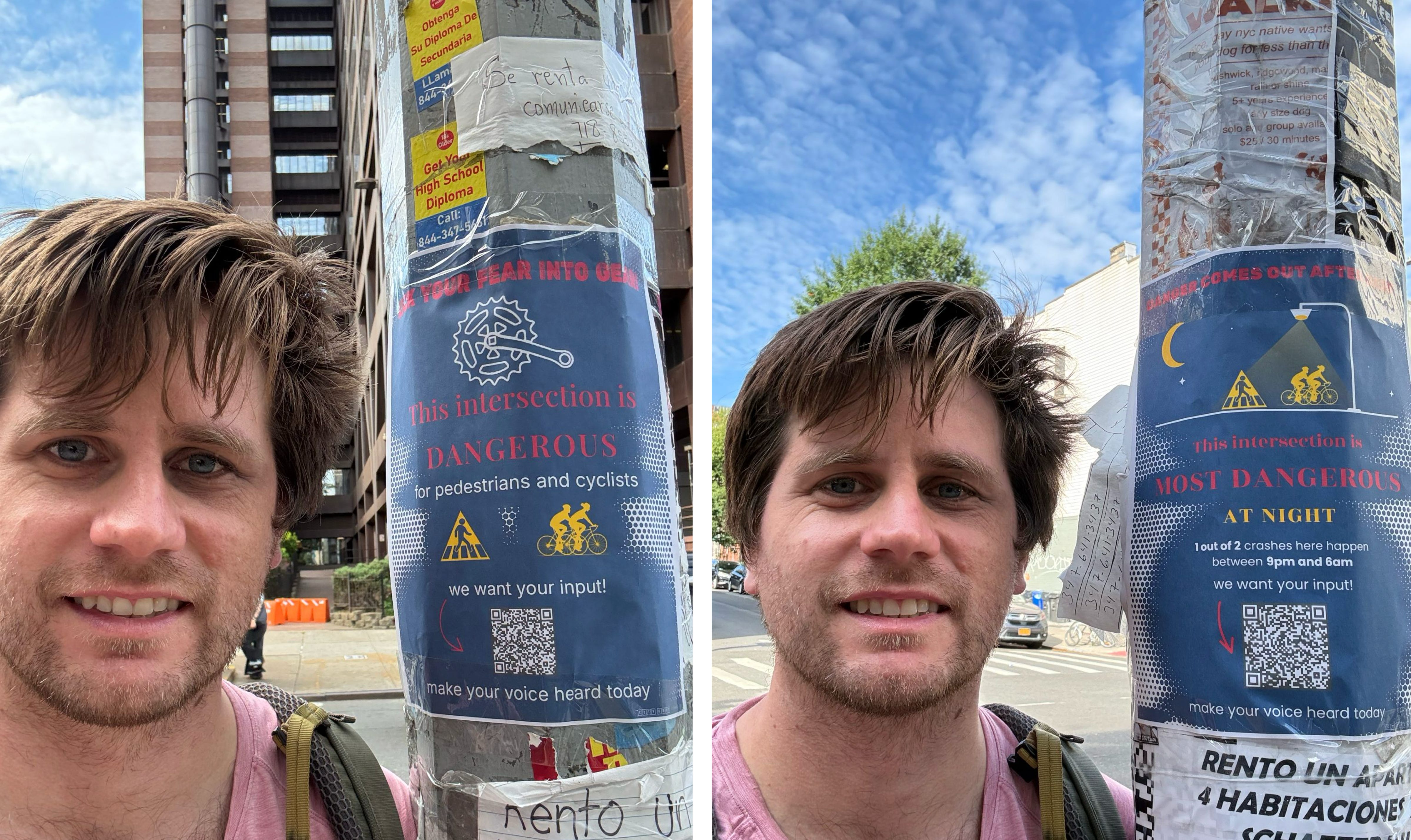
So we went to the city’s most dangerous corners themselves, identified using NYC open data about car crashes. We hung posters at specific intersections, and each one tries to say the same thing:
This intersection needs to change. Neighbors are proposing a safer crossing right here. See it, vote on it, or add your own idea.
The QR code links to a live proposal for that exact spot on CityEdit, the free, open-source platform we’re building where neighbors can propose and vote on street improvements directly on a map. Scan it, and the first thing you see is that other people who stand where you’re standing, waiting out the same too-short walk signal, feel exactly the way you do.
📍 Why lampposts?
Public meetings select for unusual patience and civic-mindedness, surveys flatten voters into checkboxes, 311 aggregates complaints but not ideas. The lamppost, though, has perfect distribution. It reaches exactly the people who use that street, and it reaches them at its most critical juncture.
Now, we’re aware that a sheet of paper taped to a pole is no civic revolution. A QR code can’t repaint a crosswalk, and a vote on a map is more of a signal than a mandate. If the only people scanning are the ones who already read urbanist Substacks, we haven’t actually heard from the neighborhood.
We treat that as a design problem. Our platform shows where support exists, who has participated, and who’s still missing. Our goal is to move fast, but without faking consensus.
🗺️ What we’re building
So here’s the vision of CityEdit: someone marks a corner for a change. Neighbors agree. A crew shows up. The fix gets built, or the failure to do so gets documented. Either way, the map remembers and the next conversation with the city starts from evidence instead of anecdote.
Our ultimate aim is to make the city editable by its people.
Which brings us to how we intend to enact the first proposals on our platform:
⚡ Tactical Urbanism Adventure, Vol. 1
Saturday, August 22
You know that one sad tree bed on your block? The forgotten call box with the chipping paint? The empty lot that looks like it could use some flowers?
We’re gonna fix that, legally, in broad daylight.
CityEdit is assembling a roving crew for an afternoon of 100 percent permit-free city improvements: tree bed glow-ups, flower bombs, clearing drains that keep flooding, cleaning up litter, and documenting the stuff we can’t fix so the city has to look at it.
It’s a trash walk meets art project meets gentle civic mischief.
Where? You tell us. Drop a pin and vote on the map: https://cityedit.org/m/nyc-tactical.
The highest-voted block gets the glow-up, location will be announced a few days before. We’ll meet at the nearest best bagel & coffee spot, breakfast on us!
Bring: comfy shoes, water, optional gloves. We’re bringing paint, chalk, mulch, flowers, trash grabbers, and vibes. No experience needed. If you can water a plant or draw a hopscotch, you’re overqualified.
Heads up: Eric just had a baby, so there’s a chance Brook will lead the first charge alone. We’re in excellent hands either way!
 | A guest post by
|